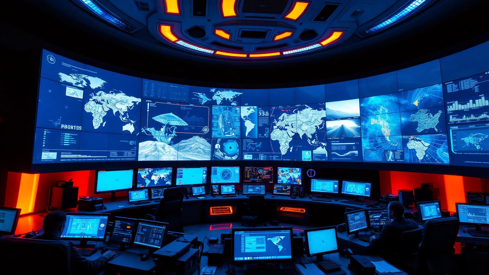
We design integrated command-and-control platforms that fuse video, sensors, communications, and GIS into a single common operating picture — empowering operators to monitor, decide, and coordinate response across cities, campuses, and critical missions.
What We Orchestrate
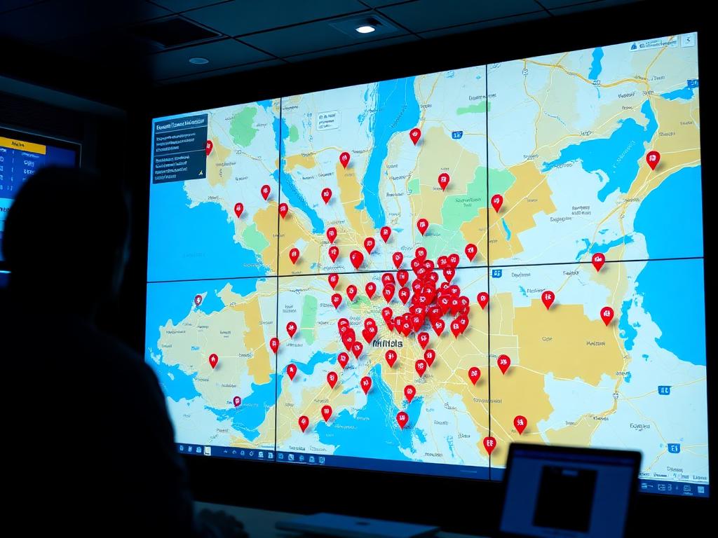
Common Operating Picture (COP)
Unified geospatial dashboards that fuse every sensor, asset, and incident into one live map.
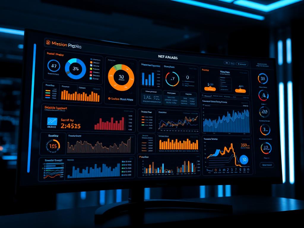
Mission Dashboards & Analytics
Role-based dashboards with real-time KPIs, alerts, and decision support for operators.
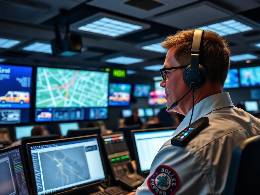
Emergency Response Platforms
Incident management workflows for police, fire, and disaster response with automated dispatch.
Secure Communications
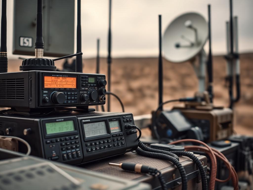
Encrypted voice, video, and data networks that keep operators connected even when networks fail.

Mobile Command Centres
Vehicle-based command nodes that bring full C2 capability to the incident or the front line.

Multi-Agency Integration
Interoperability layers that connect surveillance, access, alarms, and partner agency systems.